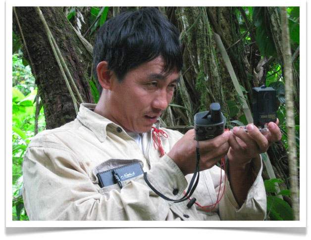
Laying out the baseline at Shinlonga (see The Last Stake) involved a strange mix of GPS and compass. As shown in the photo above, Jon Kuan is using a compass to lay out the next plot stake, but he has a GPS is his other hand to "check" how the line is going.
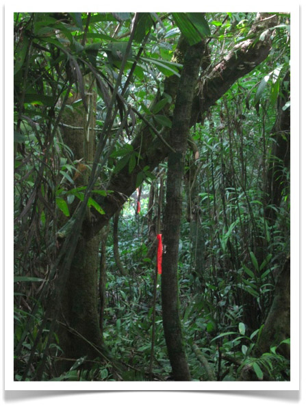
The baseline that the crew at Shinlonga laid out was one of the straightest, most bearing-correct lines I've ever run in a tropical forest. In most places, you could easily line up three or four stakes (see image below). The guys, however, took a waypoint on every stake and were continually plotting the line - which zigzagged all over the place. This was due to the 5 to 7 meter positional error necessarily involved in every GPS reading. Although their eyes were telling them that the line was as straight as a string, the GPS was telling them that they were going crooked. And they worried about this. I finally convinced them to believe their eyes and to put their GPS receivers back in their packs. [NOTE: When we eventually plotted the first and last waypoints, our baseline was oriented precisely magnetic North, a result which seemed to reassure everyone about the quality of the work].
